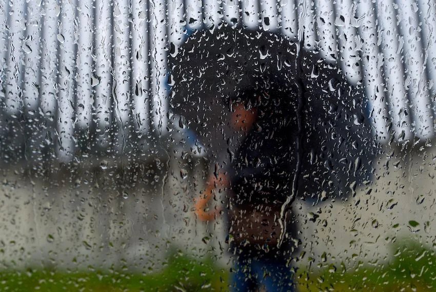
Weather authorities in Mexico and the United States are currently monitoring a developing area of atmospheric instability in the Gulf of Mexico, which has the potential to grow into a tropical cyclone. While the likelihood of this system becoming a hurricane remains low to moderate, it is already triggering substantial rainfall across several regions of Mexico, affecting daily activities and raising concerns about safety.
The National Meteorological Service (SMN) and the National Water Commission (Conagua) report that this instability, combined with an unexpected frontal system and tropical wave No. 7, is causing heavy rains in northern and eastern parts of the country. This includes intense downpours likely in Coahuila, Nuevo León, and Tamaulipas, posing risks of flooding, landslides, and elevated water levels in rivers and streams.
In addition to the heavy rains, authorities have advised ships and fishermen to halt operations due to the dangerous waves expected to impact navigation along the coast. The instability is primarily situated off the coasts of Veracruz and Tamaulipas, with forecasts indicating that Mexico will experience more rain than cyclonic winds, minimizing the immediate threats.
Contrastingly, southeastern states like Campeche and Yucatán are facing extreme temperatures, reaching up to 45 degrees Celsius, just before these storms. In Monterrey, the capital of Nuevo León and a FIFA World Cup host, ongoing heavy rains led to the suspension of the FIFA Fan Fest, though no further cancellations have been officially announced.
Civil protection officials urge the public to stay informed through official channels and exercise caution in vulnerable areas prone to flooding and landslides. It’s essential for everyone to remain vigilant and prepared as the weather situation unfolds in the coming days.